Many people have heard of the tragic Vanport flood of 1948...


But did you know there have been six major floods along the Columbia in the Portland metro area over the last 125 years?

We have a long history of flooding along the Columbia River
-
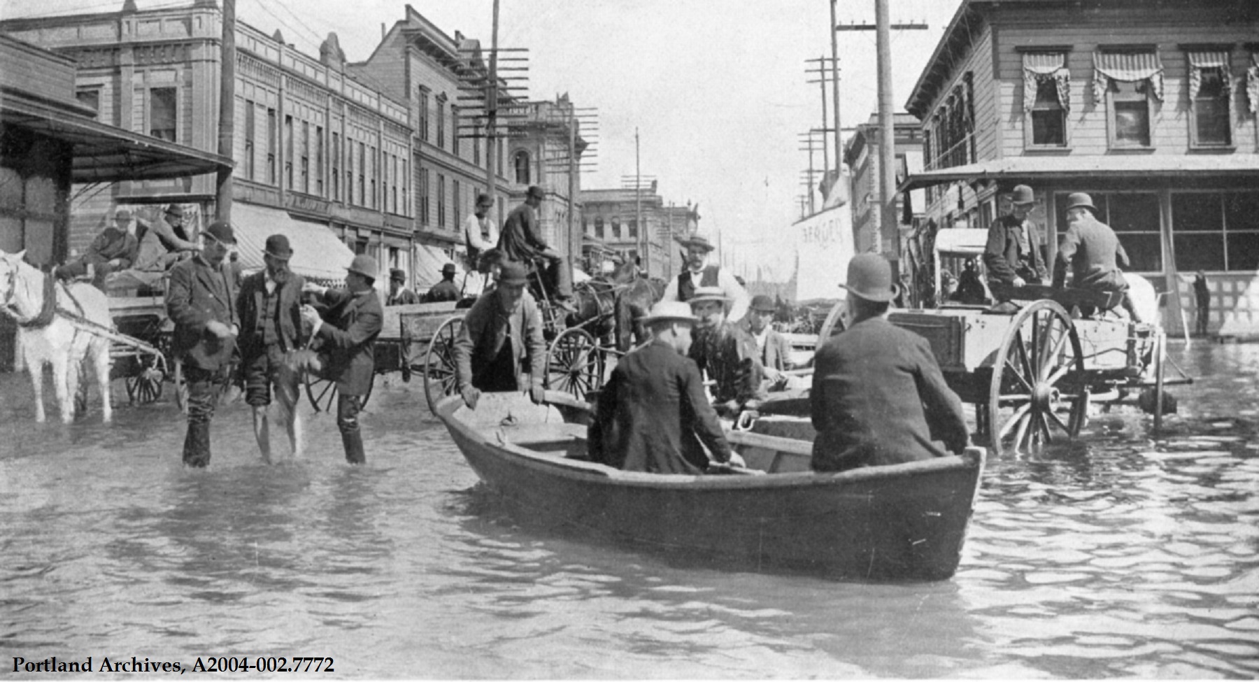
The Great Flood of 1894
In May and June of 1894, heavy rainfall combined with spring snowmelt led to significant flooding on the Columbia and Willamette Rivers in the Portland area. The Columbia River reached an elevation of 39.7 feet, which is still the highest flood on record to this day.
-
1933 Columbia River Flood
In June 1933, thawing snows led to flooding on the Columbia River, which ultimately reached an elevation of 31.6 feet. People were evacuated and farmers moved livestock to higher areas as the river continued to rise over the course of a week.
-
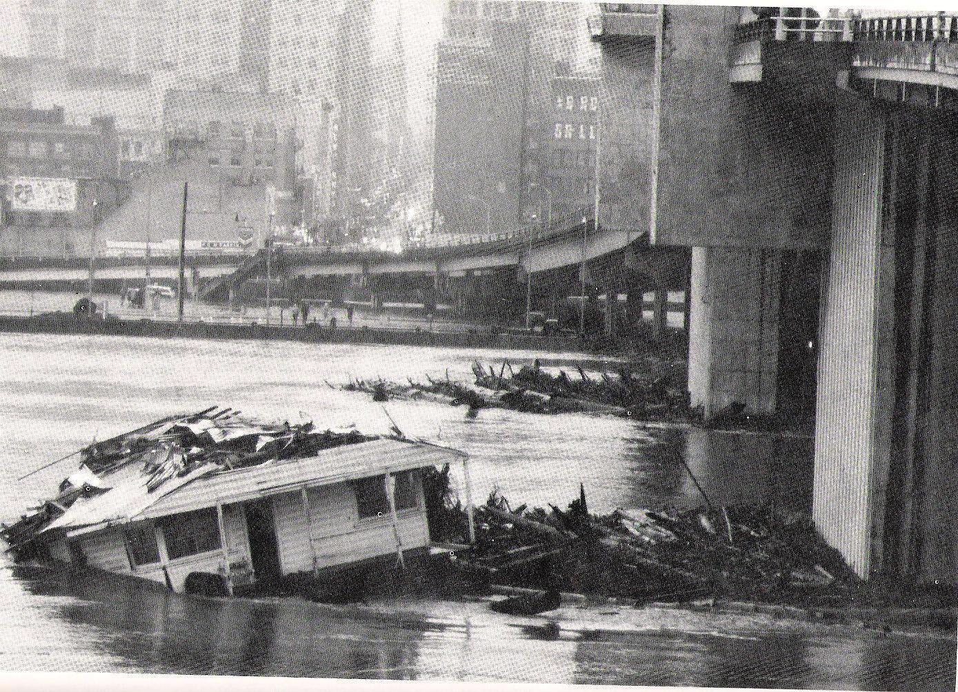
The Vanport Flood
On Memorial Day in 1948 the railroad embankment on the western end of the levee system, collapsed under pressure from the river, sending waves of water into the city of Vanport, killing at least 15 people, leaving scores more injured, and displacing over 18,000 people from their homes.
-
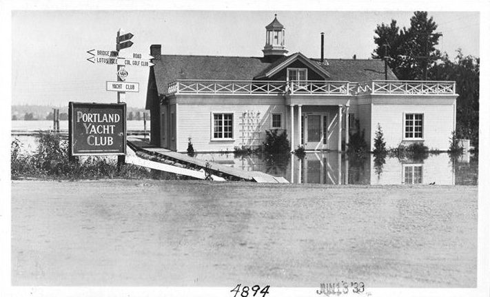
1956 Columbia River Flood
The snowpack in the mountains was much higher than usual during the winter of 1955 to 1956, and there was heavy rain throughout the Columbia River basin that spring. In early June, the snowpack started melting very quickly, leading to flooding along the Columbia.
-
1964 Christmas Flood
In December of 1964 an unusual cold spell hit Oregon, freezing the ground before dropping a large amount of snow. This was followed by a heavy amount of rain that raised the temperature, causing the snow to melt quickly while the ground was still frozen and impermeable. Streams and rivers flooded across Oregon, as well as in parts of Northern California, Washington, Idaho and Nevada.
-
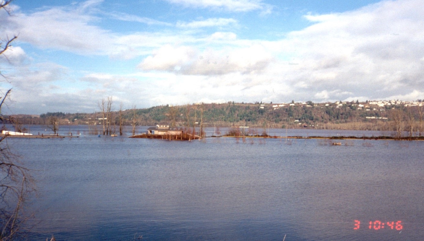
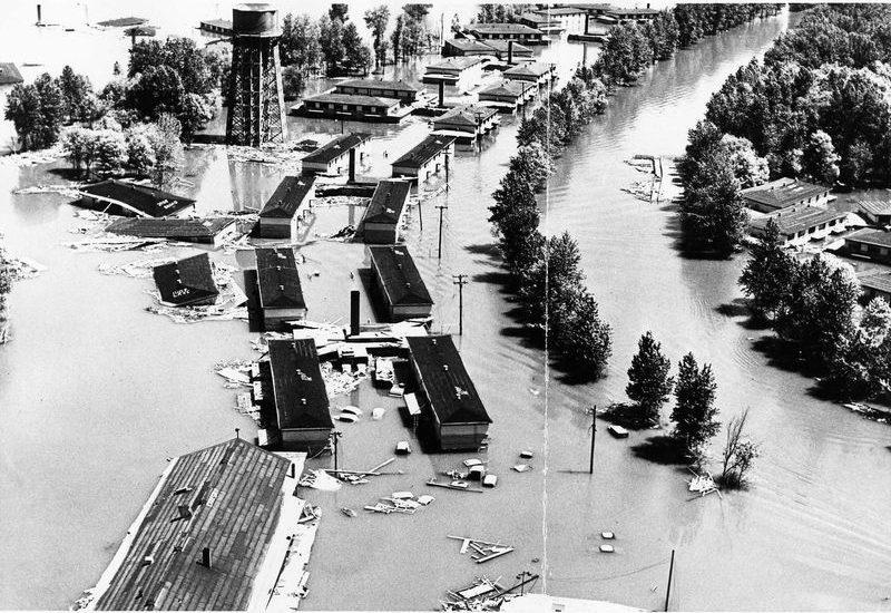
The last major flood
The combination of record-breaking rain, warm temperatures, and deep snowpack during the winter of 1995-1996 led to severe flooding in many parts of northern Oregon, including along the Columbia and Willamette Rivers in the Portland metro area. By February 9th, tens of thousands of people had to be evacuated from their homes and the Columbia River reached 33.8 feet.
-
2011 High Water Event
In mid-May of 2011 the Columbia River began to approach flood stages from the combination of melting snow in the mountains and an exceptionally rainy spring. On June 2, 2011 the high water peaked at 22.7 feet, causing minor flooding in Multnomah County.
-
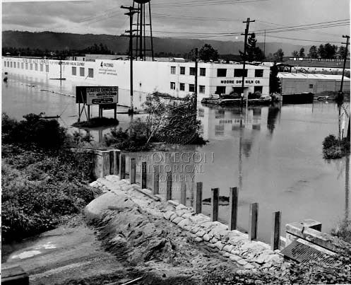
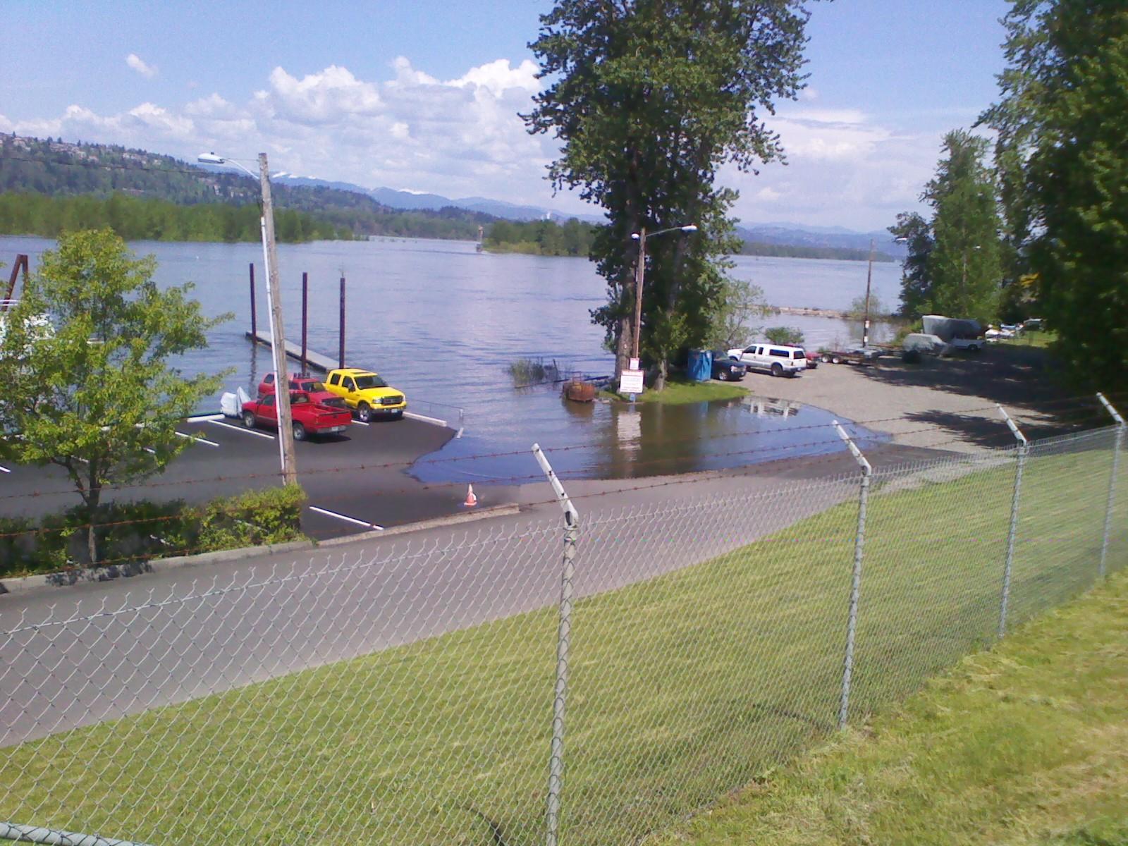
High Water on the Columbia
After record-setting rains in February and heavy rain in March of 2017, the Columbia River began to rise, triggering enhanced emergency operations for the local drainage districts in anticipation of flooding. The river peaked at 22.9 feet on March 31, 2017. For nearly a month, the drainage districts inspected the levees on land and in boats for any erosion, slides or other stability issues. The levees showed some signs of their age with erosion and seepage issues during the event.
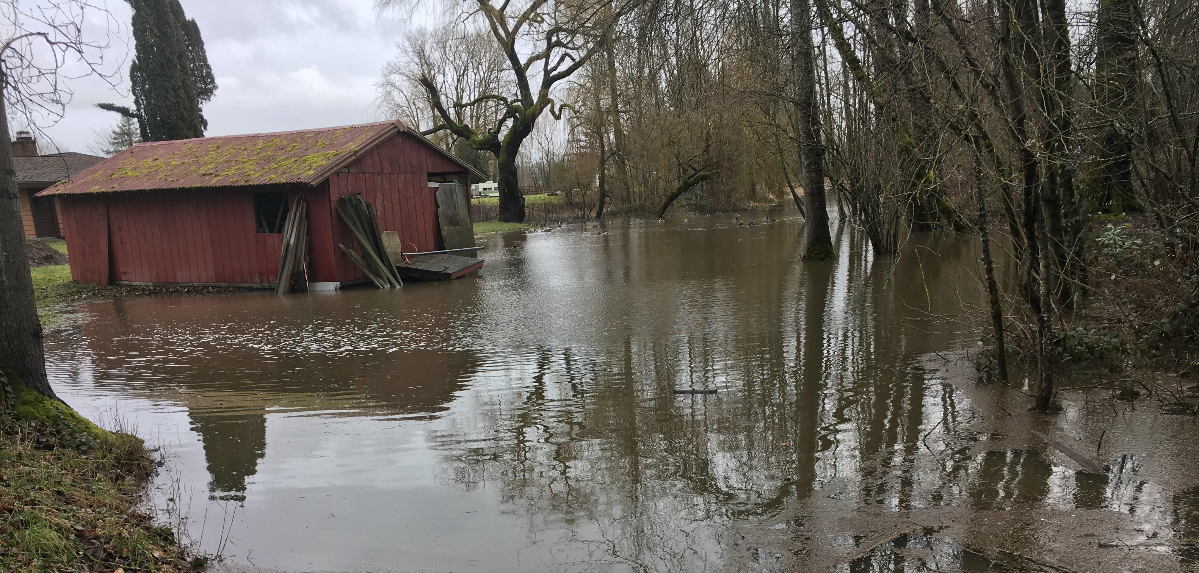
The places we love behind the levees
Levee Ready Columbia’s objectives
Where the levees are vulnerable